A new interactive map shows how climate change is affecting weather around the world.
By 2080, more than half of Earth's surface will have new climate zones, according to the Intergovernmental Panel on Climate Change (IPCC).
Matthew Fitzpatrick, a spatial ecologist at the University of Maryland, made the map called "The Future Urban Climates." This map lets people see how their local climate will change over the next 60 years.
The tool compares 40,581 places worldwide with areas that have similar conditions to what is expected in 2080.
"In 50 years, cities in the northern hemisphere will have climates more like cities further south," Fitzpatrick says. "The climate is moving towards the equator."
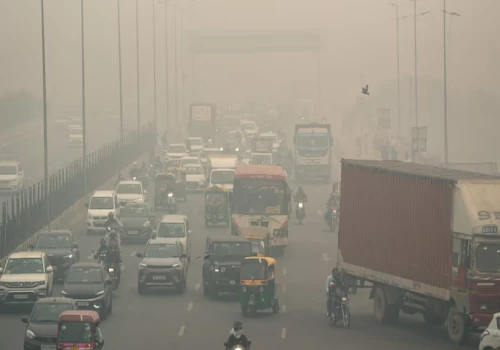
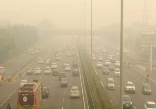
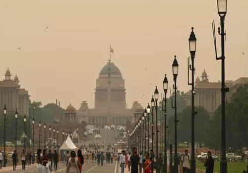
The map shows big changes in climate patterns. For example, New Delhi's summers in 2080 might be 4.5°C warmer and 1.4% drier. Winters could be 4.9°C warmer and 0.9% drier.
New York will feel like northern Mississippi today. Washington DC will feel like North Louisiana now, with temperatures possibly rising by 6°C.
These predictions are based on a high-emissions scenario, but the map also shows a lower-emissions scenario, highlighting the effects of successful climate efforts.
Changes are already happening. By 2010, almost 6% of Earth's land area had become warmer and drier compared to 1950, with North America, Europe, and Oceania seeing the biggest changes.
The equatorial regions, home to over 3.3 billion people (about 40% of the global population), are a major concern. These areas are heading towards more extreme climates, which could make them too hot and humid for people to live.

