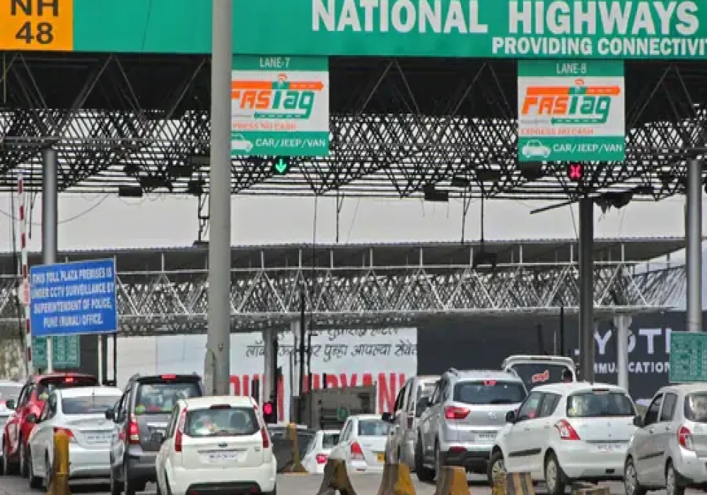
The Ministry of Road, Transport, and Highways has updated the rules for toll collection on highways. They are adding a new way to pay tolls using satellite technology, called Global Navigation Satellite System (GNSS). This will work alongside existing methods like FASTag and Automatic Number Plate Recognition (ANPR).
What is GPS-based toll collection?
Right now, people pay tolls at booths, which can cause traffic jams, even with FASTag. The new GPS-based system will use satellites and tracking devices in cars to charge tolls based on how far a vehicle travels. The car’s location will be tracked by satellites to determine the toll amount.
How is it different from FASTag?
Unlike FASTag, which uses radio frequency to work, the new system uses satellite technology for more accurate location tracking.
How will the satellite-based toll collection work?
Cars will have devices called On-Board Units (OBUs) that track their location on highways. This information will be sent to satellites to calculate the toll based on the distance traveled.
The new system will start on major highways and expressways and will be available through government websites, like FASTag.


 (1)_500_x_350.webp)


